Weathering, erosion, landforms and regolith
This online resource looks at the geomorphology of Australia.
The resource is a PDF that was developed by the AGSO (Australian Geological Survey Organisation), a Commonweallth advisory body established in 1992 to provide information on the earth sciences and mapping of mineral resources in Australia. The PDF provides information on the processes of weathering, erosion and deposition for science and geography teachers under a creative commons license.
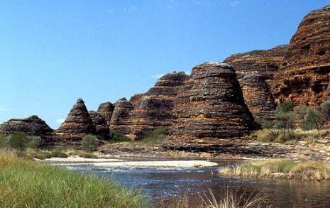
Detailed information on different types of weathering is accompanied by photos and clear images to support the information and provides in-depth explanations for the development of well-known landforms such as The Twelve Apostles, the Bungle Bungle Ranges, Purnululu (the Devil's Marbles), Uluru, the Jenolan Caves and the Nullabor. Information on soil issues such as salinity and acid soils and mineral resources is also provided. The Aboriginal perspective is addressed through an explanation of the importance of the regolith and taboo country to Indigenous Australians.
This resource also provides a variety of student worksheets including teacher demonstrations, practical investigations, group work and an assessment task. Concepts covered by the worksheets include rates of weathering, factors affecting physical and chemical weathering, mapping exercises and erosion. Answers for these worksheets are also provided.
This resource would be particularly helpful to teachers developing a unit of work on Earth processes and the Australian landscape.
Australian Curriculum v9 Codes: AC9S5U02 (Year 5), AC9S8U03 (Year 8), AC9S8U04 (Year 8)

